Guest Post by Takuma Goto
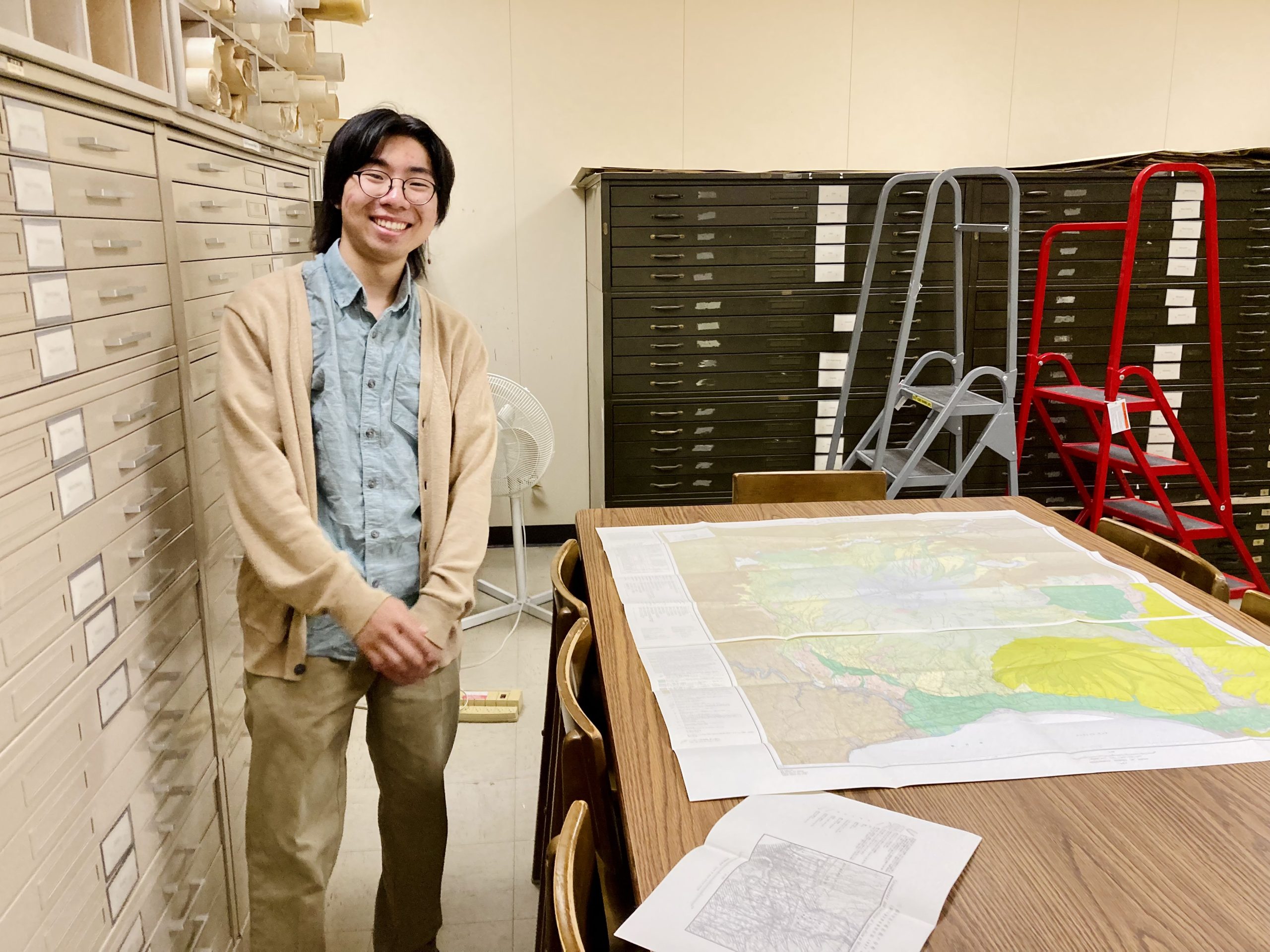
Takuma Goto (Class of 2023) working with a Japanese map in the Geology Library
Hi! My name is Takuma Goto, and I am a 4th year OSU student majoring in Statistics and Spanish. As my name suggests, I am ethnically Japanese, and thanks to my parents’ efforts, I understand Japanese as well as English. This has given me the opportunity to work with the East Asian Studies Center alongside Geology and GIS librarians on a Japanese maps project at our University Libraries. My work is part of a larger project to (1) help surface culturally diverse materials for teaching and learning and (2) identify materials for potential digitization and cataloging on the Big Ten Academic Alliance Geoportal, a collaborative web site that facilitates access to GIS datasets, web services, and digitized historical maps in the “Big 10” university libraries. With this blog, however, I’d like to share some of my preliminary findings!
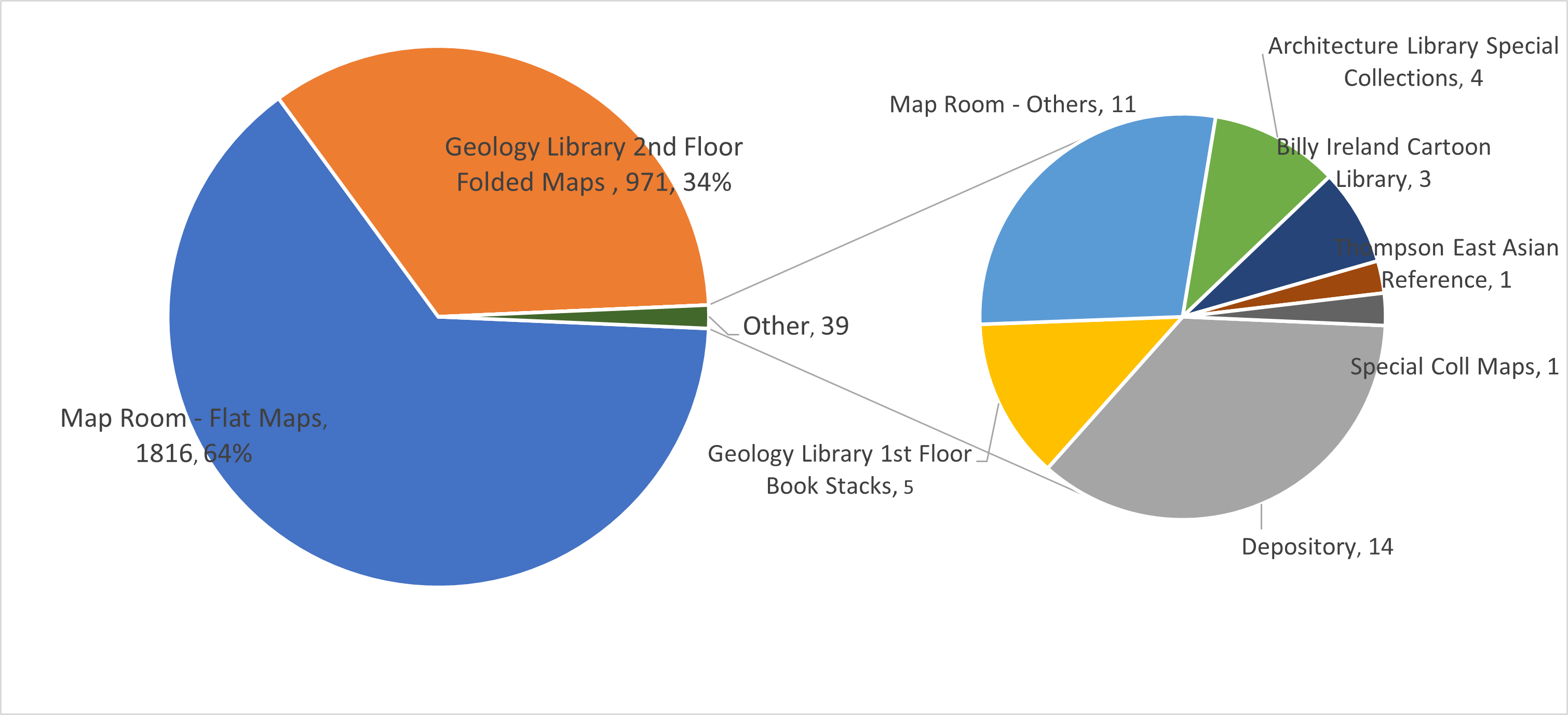
Location of Japanese maps in the University Library System
Where are the maps – and how old are they?
The Japanese Maps collection consists of over 2500 maps either published in Japan, in Japanese, or featuring the Japanese islands or colonized territories of the Japanese empire. During my first weeks on the job, I created a couple of pie charts that helps to break-down this extensive collection according to details such as publication date and physical location in our libraries’ system.
The vast majority of Japanese maps are listed in OSU’s library catalog at go.osu.edu/JapaneseMaps. As shown in the chart above, about two-thirds of Japanese maps can be found in the Thompson Library’s Map Room, and roughly one-third are circulating in the Geology Library in Orton Hall. These maps contain information relating to Japanese land features and seismological interests. One of our oldest maps, Fujimi jūsanshū yochi zenzu (冨士見十三州輿地全圖 trans.: A Complete Map of the 13 Provinces Overlooking Mount Fuji), published in 1842, can be found in the Rare Books and Manuscripts Library. (Harvard has also recently digitized this collection). Finally, roughly three dozen Japanese maps are dispersed in places like the Architecture Library, the Billy Ireland Cartoon Library & Museum (BICLM), the Thompson stacks, and the University Depository. The maps at BICLM are especially colorful and often include interesting graphics representing different cultures and landmarks.
A breakdown of maps by decade

Distribution of Japanese maps by decade
As suggested in the chart above, the majority of our maps were published after World War II. However, about 450 of them are from the pre-war era and often feature the “classical” Japanese writing system. Some pre-war maps illustrate overseas territories (e.g., Manchuria) that would be later colonized by Japan. More modern types of maps include the layout of subway systems, and other tourist-oriented material like Tokyo travel brochures.
Stay tuned for more details and close-up views of some of our more distinctive maps, including cartographic cartoons from the BICLM. In my next blogs, I hope to share some eye-catching historical and geological maps! In the meantime, please check out some past blogposts from the Japanese Collections also pertaining to historical maps:
Herman J. Albrecht Library of Historical Architecture – Ginza Kaiwai (銀座界隈) by Alexis Parker (University Libraries Blog, 2016).
Focus on Japan in WWII: Kōa Shingun Ezu Iri (興亜進軍絵図入) by Yasuhiro Aihara (University Libraries Blog, 2017).