Tag: maps

Two Maps of Mount Fuji: A Nook Exhibit in the Research Commons

Guest Post by Anqi Chen

Located in a small corner of the Research Commons on the third floor of the 18th Avenue Library, a small display highlights two colorful examples from the Japanese collections held by The Ohio State University Libraries: geological maps of Mount Fuji, the highest peak in Japan and one of the country’s most recognizable natural and cultural landmarks.

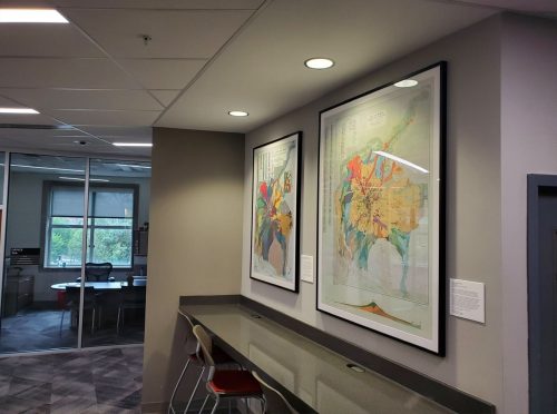
 

Mount Fuji is an active volcano located near the geographic center of Japan, and its geological structure has been the subject of sustained interdisciplinary attention. The two maps featured here were produced by the Geological Survey of Japan (地質調査総合センター): one published in 1968 by Hiromichi Tsuya, and a second, updated version published in 2016 by Akira Takada, Takahiro Yamamoto, Yoshihiro Ishizuka, and Shun Nakano. Displayed together, they reflect more than a half century of geological research and illustrate how scientific approaches to studying Mount Fuji have developed over time.
Continue reading

Expanding Premodern Japanese Sources: Heian Ibun Now Available

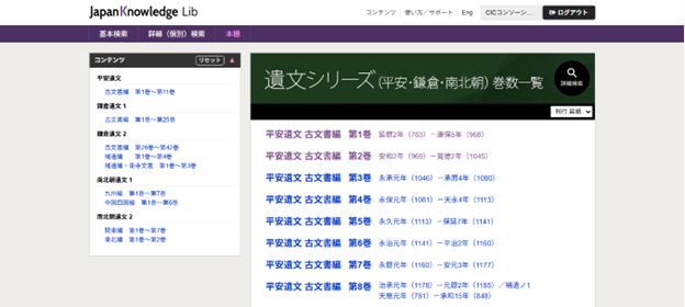
A website featuring a variety of Japanese texts, listed in chronological order.

Front page of the Heian Ibun collection, which is included in the “Ibun Series” (遺文シリーズ) archive on JKBooks.

We are pleased to announce another significant addition to our growing collection of accessible archives and databases: the complete digital transcription of Heian Ibun (平安遺文), one of the largest and most comprehensive collections of Heian-period (794–1185) historical documents in the world. This digitization greatly expands research possibilities by providing full-text, searchable transcriptions of all included materials.

Heian Ibun was compiled by historian Dr. Rizō Takeuchi (竹内理三博士), who began assembling the collection in 1947. Over the course of approximately twenty years, he brought together more than 5,500 documents, publishing them across 11 volumes arranged largely in chronological order and spanning the entirety of the Heian period. In 1974, Dr. Takeuchi returned to the project to revise and reorganize the volumes into a new format.

These revised editions were later digitized and further updated by historians at the University of Tokyo, who have continued to make corrections and enhancements since 1996. The most up-to-date versions of these texts are now available digitally through the JKBooks platform on JapanKnowledge.

Continue reading

Mapping the Allied Air War – AAF Target Chart of Tokyo

Guest Post by Takuma Goto

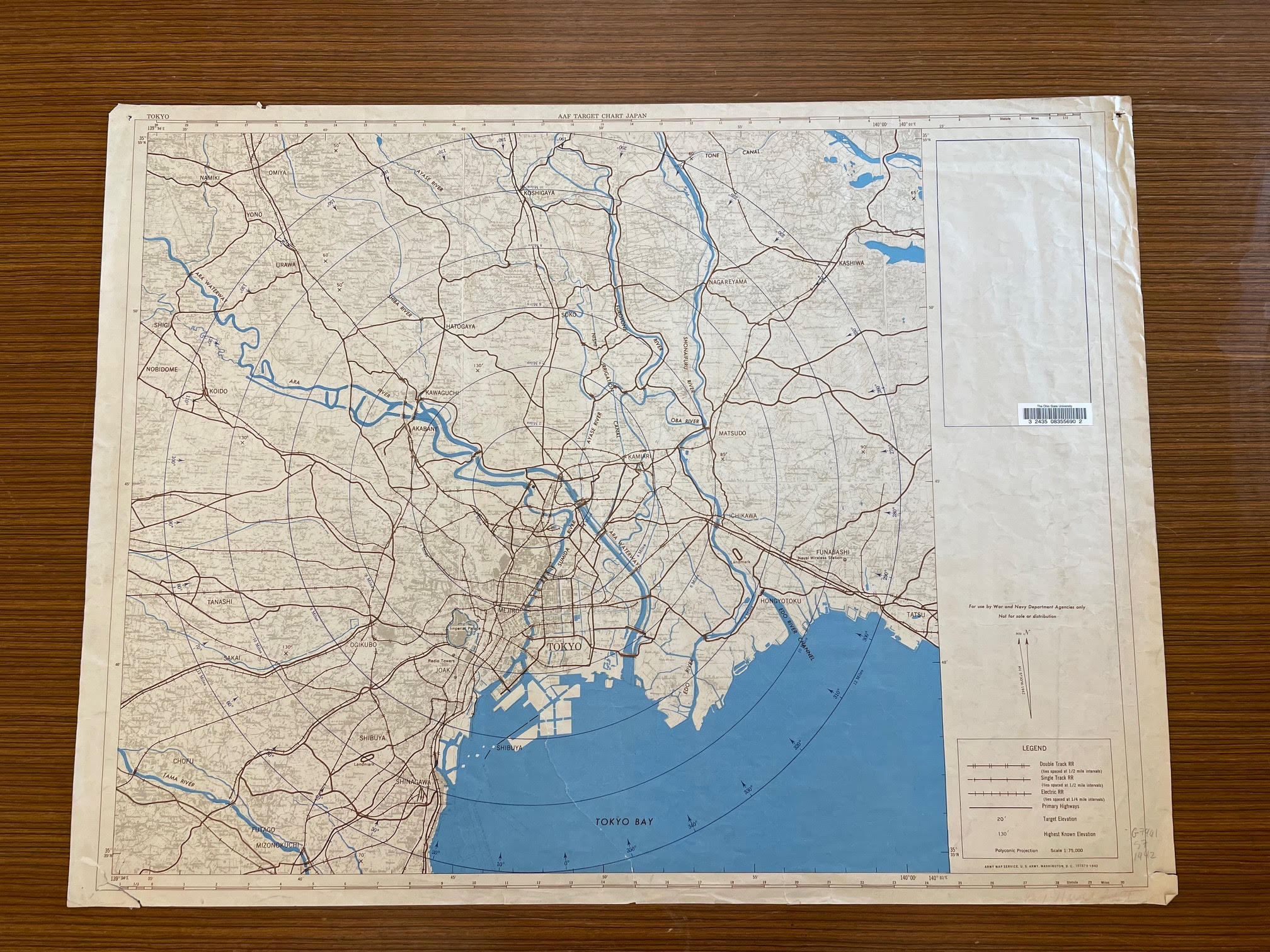
In a previous blog, I discussed our University Libraries’ ongoing Japanese maps project. Today, I’d like to share another interesting map I’ve encountered: a World War II U.S. Army Air Forces’ (AAF) “target chart” of Tokyo, Japan.

Historical Background

Soon after the attack on Pearl Harbor on December 8, 1941, the United States quickly mobilized for the Pacific War. The following April, the AAF’s aerial campaigns against Imperial Japan began with the Doolittle Raid on the Tokyo Metropolitan Area. This small-scale air raid would become the first of hundreds of Allied bombings throughout World War II until Japan’s surrender in August 1945. 

AAF Target Chart Japan. Washington, D.C.: Army Map Service, 1942.


Continue reading

The View that Rocks: The Geology of Mount Fuji

Guest post by Takuma Goto

In my ongoing explorations of the Japanese Maps Collection, Mount Fuji, or Fuji-san to speakers of Japanese, is perhaps the most prominent landmark in Japan. Given its significance in the Japanese geological, social, and spiritual landscape, in the present blog I have decided to focus on this great mountain.

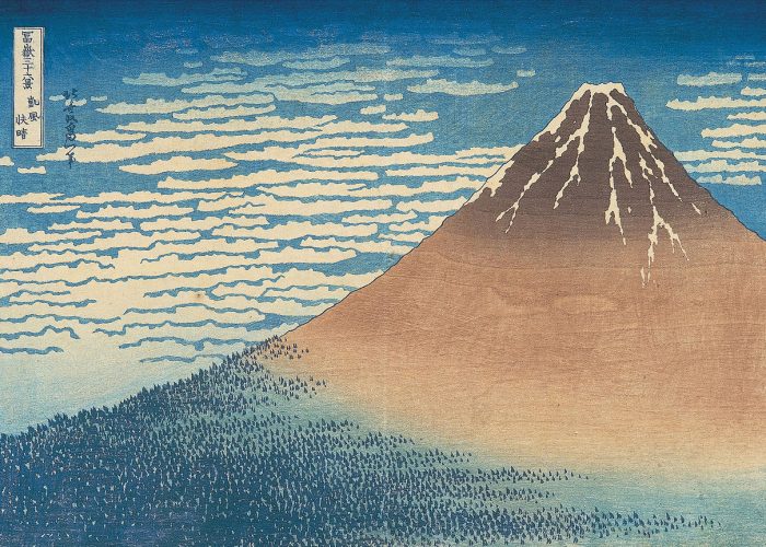
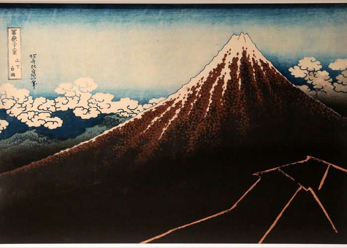
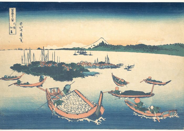
Examples of Hokusai’s Thirty-six Views of Mount Fuji from Wikipedia.org. ‘Fine Wind, Clear Morning’ (Gaifū kaisei 凱風快晴); Thunderstorm Beneath the Summit’ (Sanka hakuu 山下白雨); ‘Tsukuda Island in Musashi Province’ (Buyō Tsukuda-jima 武陽佃島 ); Shore of Tago Bay, Ejiri at Tokaido ( Tōkaidō Ejiri tago-no-uraryakuzu 東海道江尻田子の浦略図) 

Reaching an elevation of 3,776 meters, Mount Fuji is the highest peak in Japan as well as a major cultural symbol. This mountain, which is also a dormant volcano, is so important to Japanese culture that it has been canonized in Shinto mythology. For example, at the base of Mount Fuji is the city of Fujinomiya, where the goddess of the mountain, Konohanasakuya-hima (木花咲耶姫), is housed in a dedicated shrine called Fujisan Hongū Sengen Taisha (富士山本宮浅間大社). Mount Fuji is also a popular motif in classical literature, traditional crafts, and gardens. This mountain is well recognized world-wide from its extensive depictions in traditional woodblock printing, most notably Katsushika Hokusai’s Thirty-six Views of Mount Fuji (Japanese: Fugaku Sanjūrokkei, 富嶽三十六景, published from 1830-1835).

Continue reading