Guest post by Takuma Goto
In my ongoing explorations of the Japanese Maps Collection, Mount Fuji, or Fuji-san to speakers of Japanese, is perhaps the most prominent landmark in Japan. Given its significance in the Japanese geological, social, and spiritual landscape, in the present blog I have decided to focus on this great mountain.
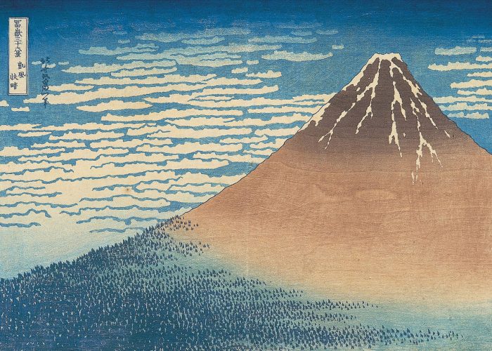
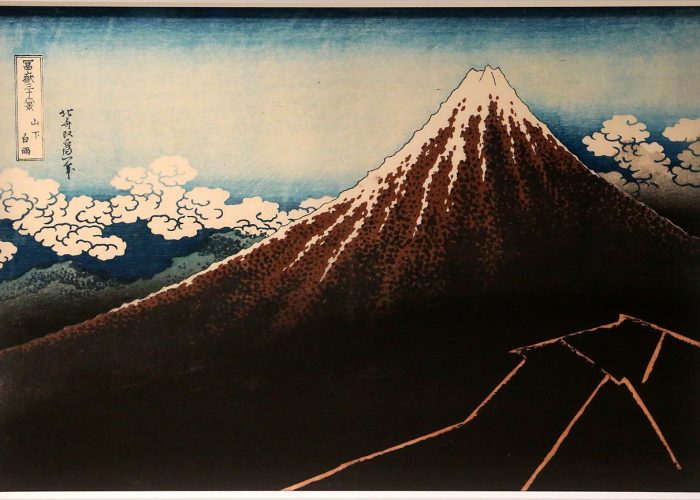
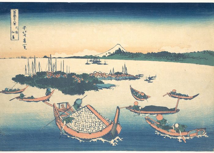
Examples of Hokusai’s Thirty-six Views of Mount Fuji from Wikipedia.org. ‘Fine Wind, Clear Morning’ (Gaifū kaisei 凱風快晴); ‘Thunderstorm Beneath the Summit’ (Sanka hakuu 山下白雨); ‘Tsukuda Island in Musashi Province’ (Buyō Tsukuda-jima 武陽佃島 ); Shore of Tago Bay, Ejiri at Tokaido ( Tōkaidō Ejiri tago-no-uraryakuzu 東海道江尻田子の浦略図)
Reaching an elevation of 3,776 meters, Mount Fuji is the highest peak in Japan as well as a major cultural symbol. This mountain, which is also a dormant volcano, is so important to Japanese culture that it has been canonized in Shinto mythology. For example, at the base of Mount Fuji is the city of Fujinomiya, where the goddess of the mountain, Konohanasakuya-hima (木花咲耶姫), is housed in a dedicated shrine called Fujisan Hongū Sengen Taisha (富士山本宮浅間大社). Mount Fuji is also a popular motif in classical literature, traditional crafts, and gardens. This mountain is well recognized world-wide from its extensive depictions in traditional woodblock printing, most notably Katsushika Hokusai’s Thirty-six Views of Mount Fuji (Japanese: Fugaku Sanjūrokkei, 富嶽三十六景, published from 1830-1835).
Geological Maps of Mt. Fuji

Envelopes containing two versions of a map located in OSU’s collection. Left: The 1968 edition titled ‘Fuji kazan chishitsuzu = Geologic Map of Mt. Fuji.’ Right: The 2016 edition titled ‘Fuji kazan chishitsuzu = Geological Map of Fuji Volcano.’
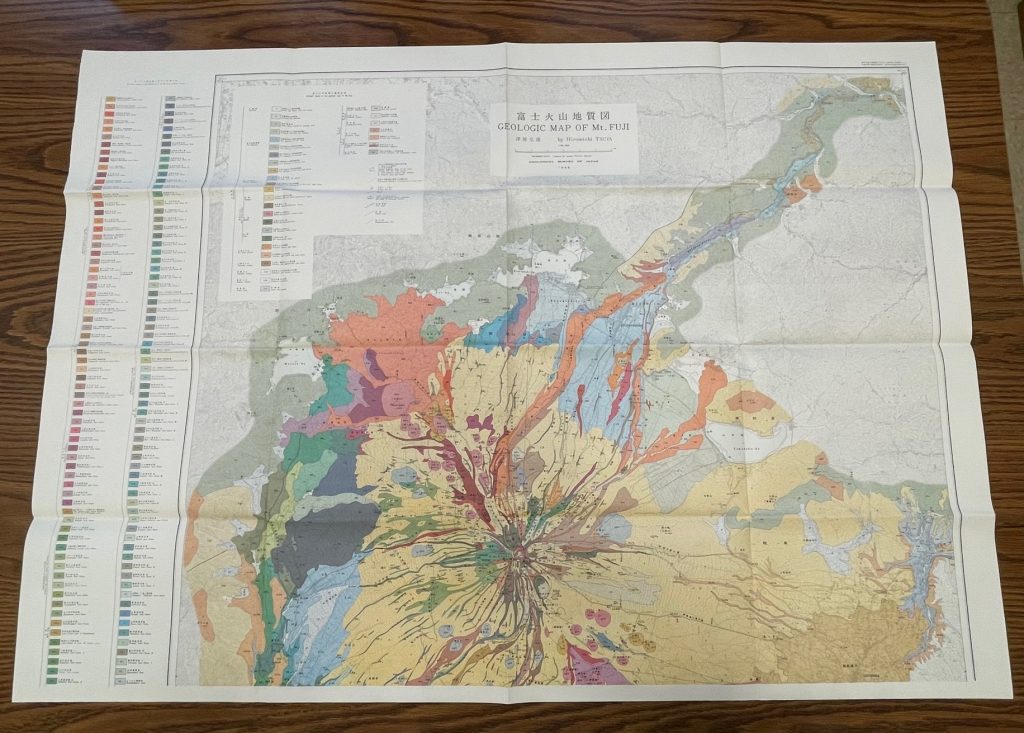
Two of the maps that have attracted my attention are the above bilingual examples from the Geology Library in Orton Hall. Entitled the Geologic Map of Mt. Fuji and the Geological Map of Fuji Volcano respectively, they are the first and second edition of Mount Fuji surveys that were published by the Geological Survey of Japan (GST) in 1968 and 2016. Both maps feature the volcano’s cone at its center, describe its geological makeup, and show the surrounding cities at the foot of the mountain. The map legends, located in the upper left panel, list the various types of sediment and lava flows that form the basis of the mountain that we see today.

First edition map from 1968 titled ‘Fuji kazan chishitsuzu = Geologic Map of Mt. Fuji’

Second edition map from 2016 titled ‘Fuji kazan chishitsuzu = Geological Map of Fuji Volcano’
While these maps share many similarities, they also have important differences. The 2016 map features a similar but distinctly different illustration of the volcano. The 2016 map also has a more concise legend on the top left corner of the sheet, while the legend on the 1968 version runs down the left-hand side. Based on more advanced technology, this latter edition reveals a larger array of colors to differentiate the various layers of Mount Fuji.

Craters of each respective map. The second edition map (right) is visibly more dynamic than the first edition (left).
Additionally, the 1968 map offers a lateral view – or cross-sectional diagram – of the mountain, showing the stratification of the volcano’s various layers. Subtle details like these make me appreciate how minor differences in representation can greatly affect our understanding of the same object.

Bottom of the two sheets that comprise the 1968 edition map. The first edition of the map has a geological cross-section of Mount Fuji, a feature not found in the updated 2016 map.
Those looking closely at the map will notice that the maps’ colorful diagrams overlay a more familiar topographic map, showing the locations of streets and buildings in the urban landscapes at the base of the volcano. In the close-up image below, for example, the reader will see the city of Fujinomiya, located on the southwestern slopes of Mount Fuji in central Shizuoka prefecture. The colorful diagram shows the sections of Fujinomiya that sit on remnants of volcanic layers, suggesting the passage of time and the formation of the mountain we see today.
Experience more of Fuji-san with materials from our collections:
The Vegetation of Mt. Fuji by Bunzo Hayata (Chadwyck-Healey Publishing, 1987).
Mt. Fuji: Selected Poems 1943-1986 by Kusano Shinpei, translated by Leith Morton (Katydid Books, 1991).
Hokusai: Thirty-six Views of Mount Fuji by Amélie Balcou (Prestel Publishing, 2019).


