
Model CF-8
Abrams Instrument Corporation
Courtesy of Ohio State University Extension Forestry
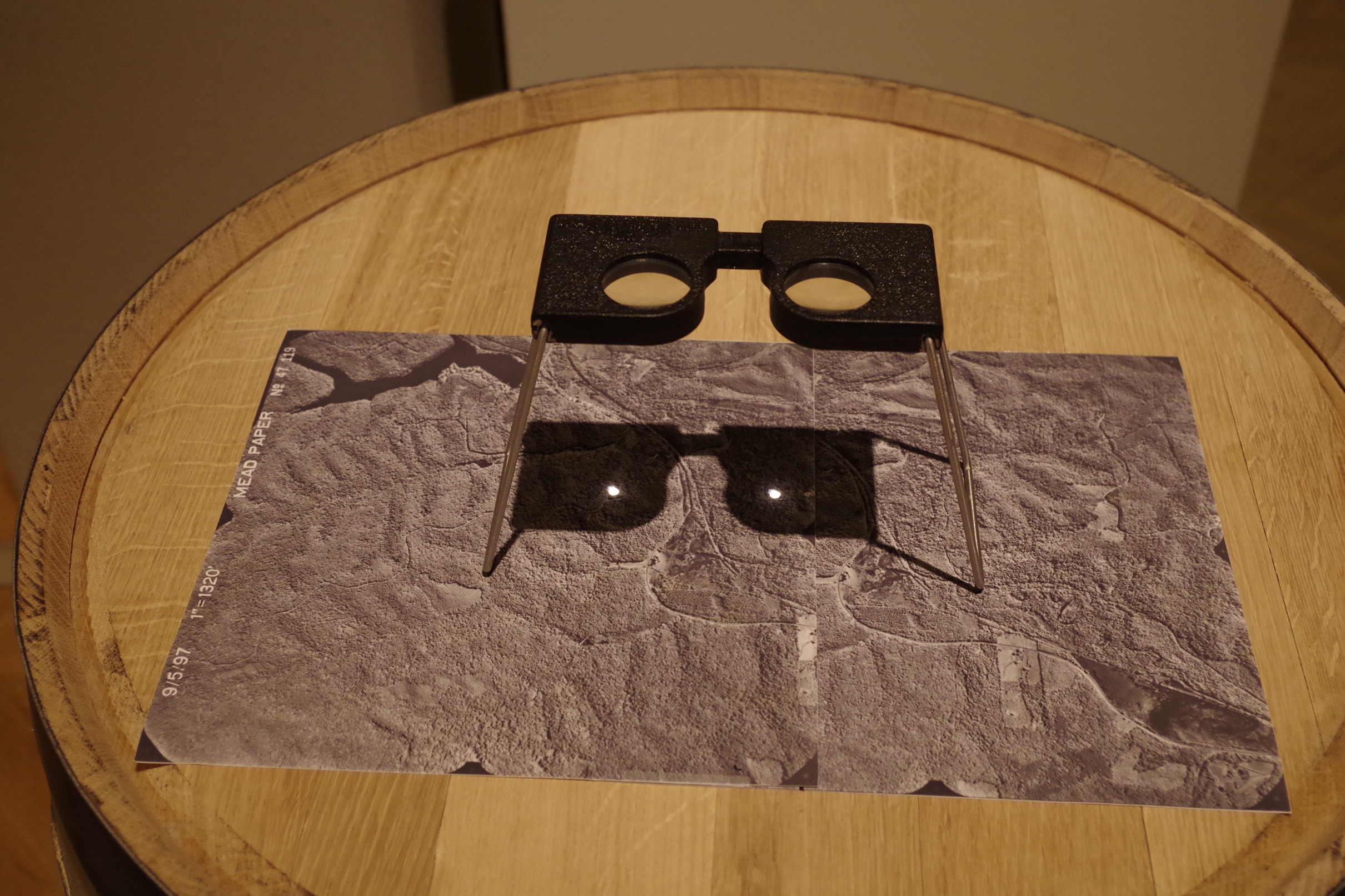
Stereoscopes haven been used for aerial photo interpretation in forestry inventory in the past. Stereoscopes allow for measuring and mapping features on stereo pairs of aerial photography (two photographs of the same area taken from slightly different positions) which are available from various agencies of the United States Department of Agriculture. With training, foresters can use aerial photographs to locate property boundaries and trails, determine bearings and distances, identify classes of vegetation, and measure areas. Aerial photographs complement fieldwork but accurate measurements, such as tree diameter, form class, and stem defects are only possible on the ground.